Measure Distance
Distances between points can be measured on the public map.
- Open the Measure tool.
- Click Distance.
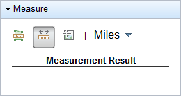
- Select a unit of measurement from the drop-down list.
- Click a point on the map and the click another point.
- Double-click to complete the line.
The measurement is shown under Measurement Result.
- To clear the line from the map, click Distance again.